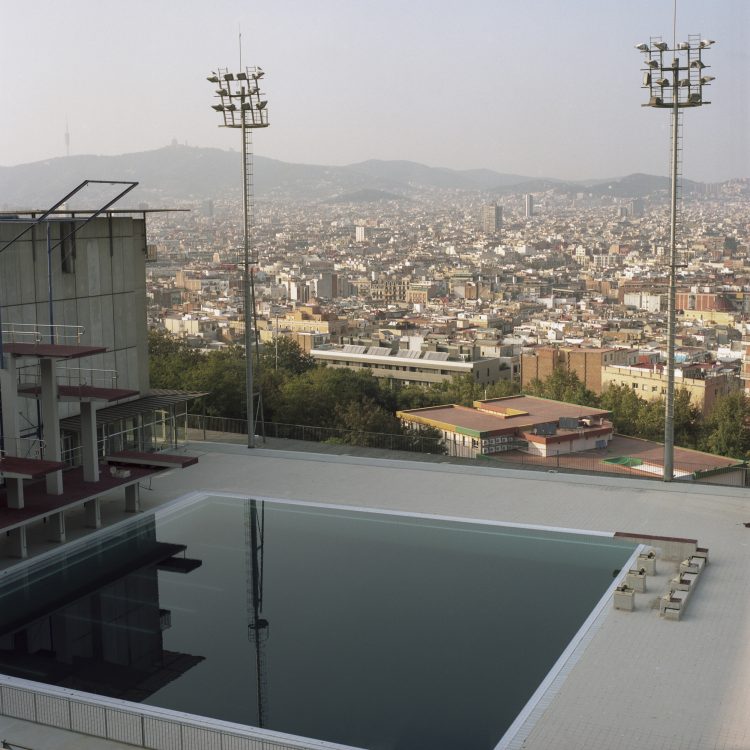
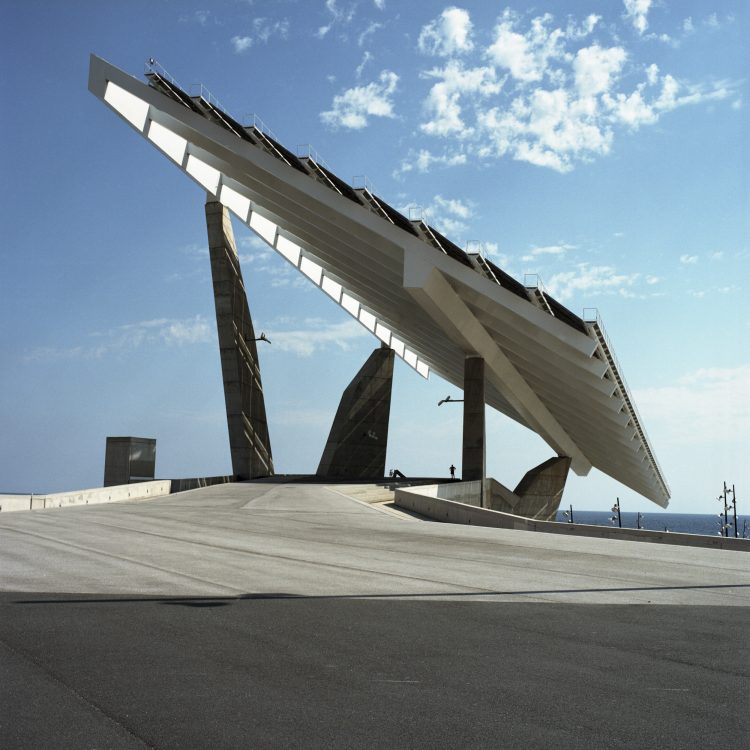
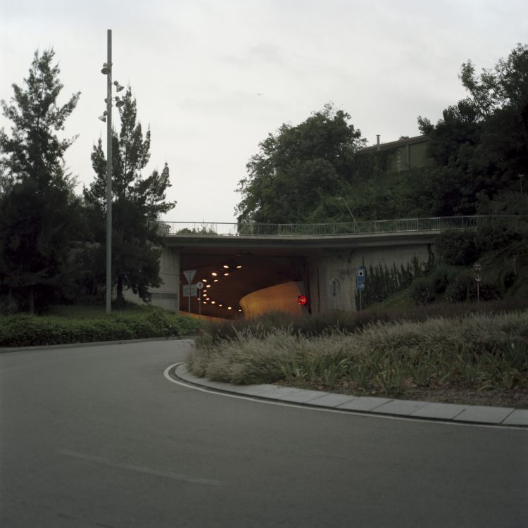
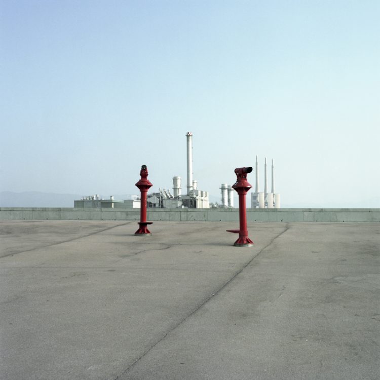
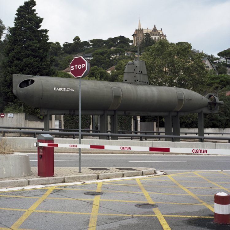
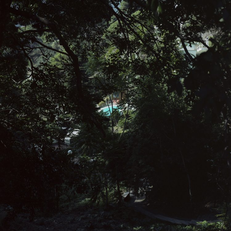
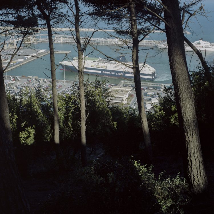
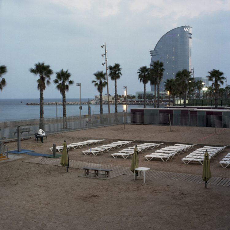
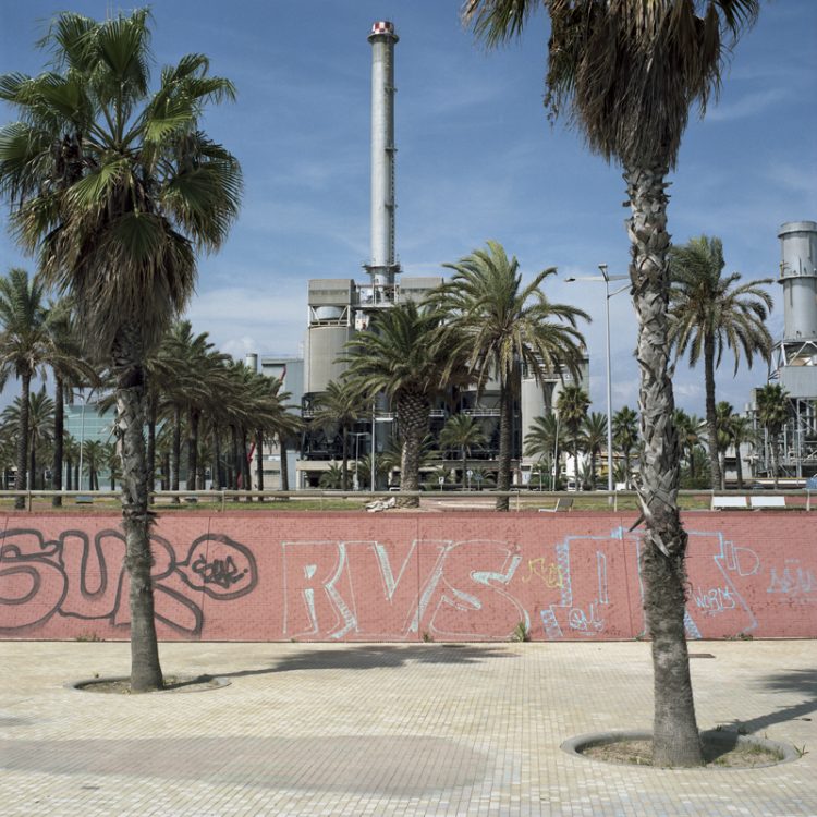
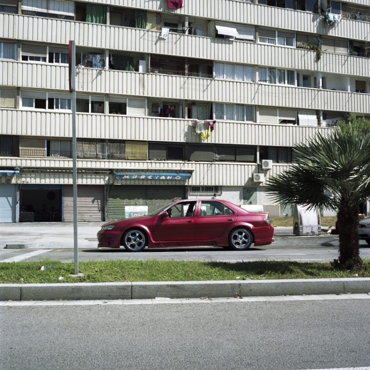
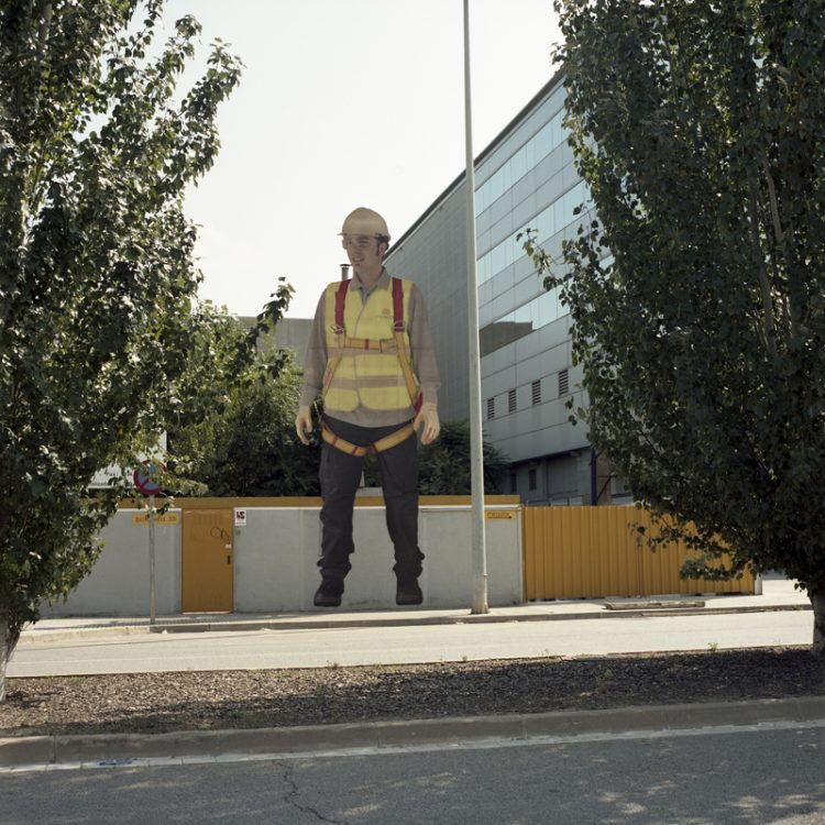
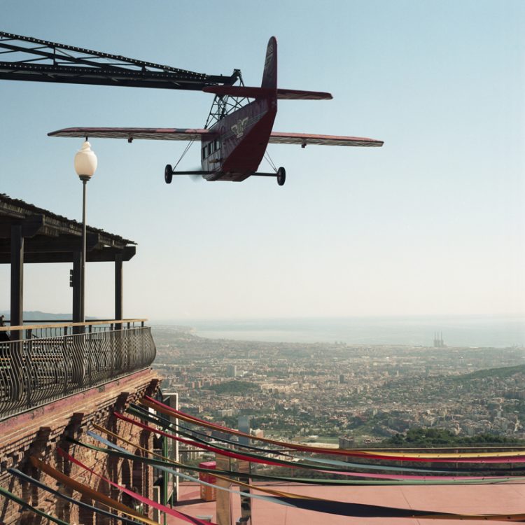
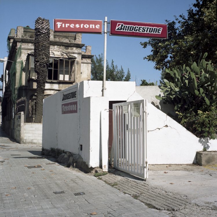
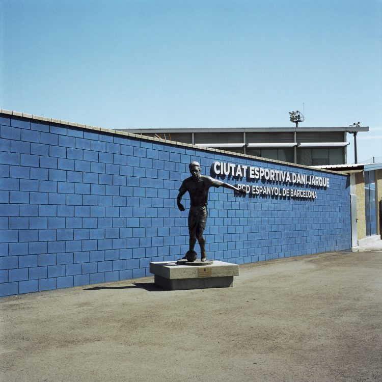
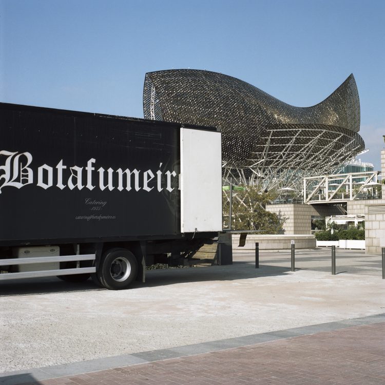
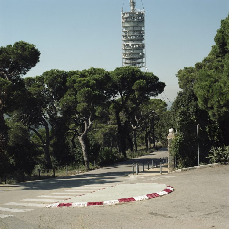
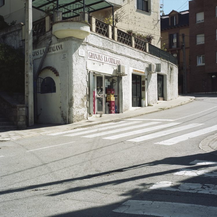
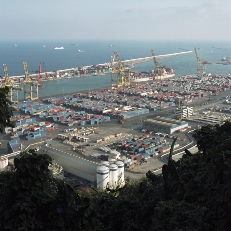
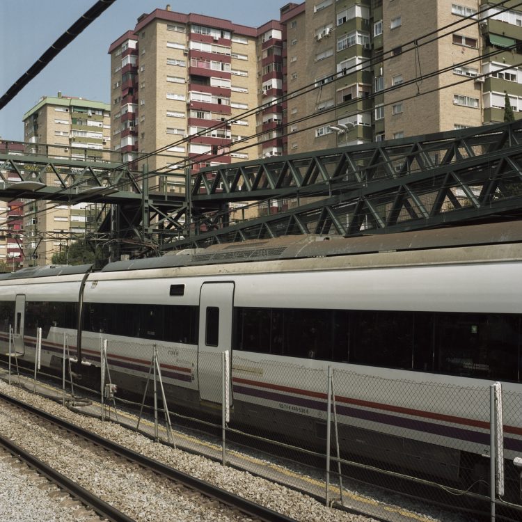
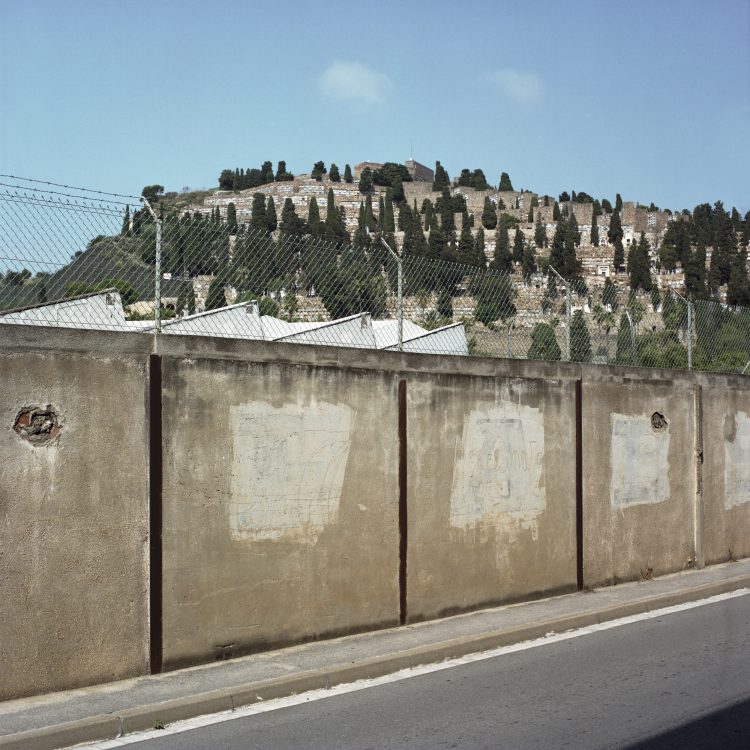
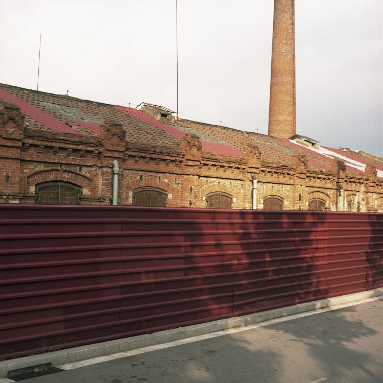
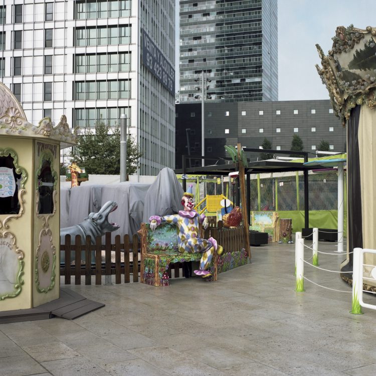
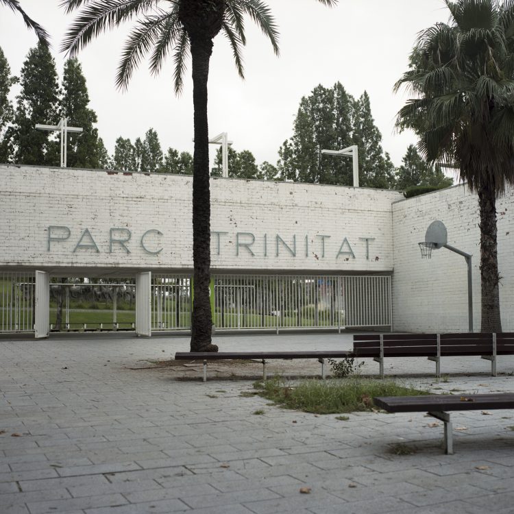
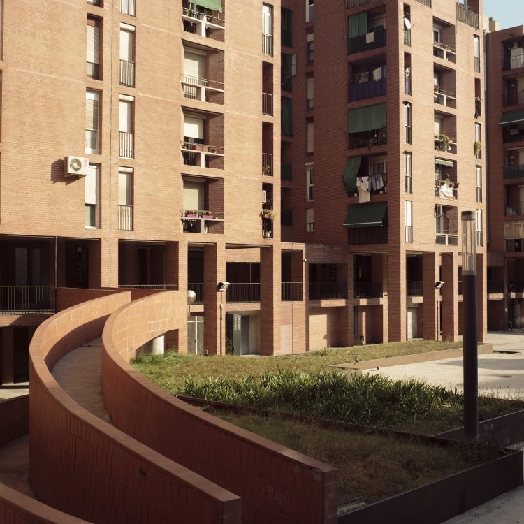
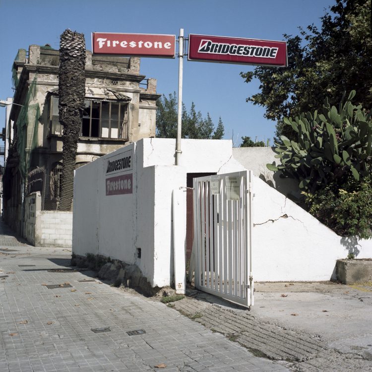
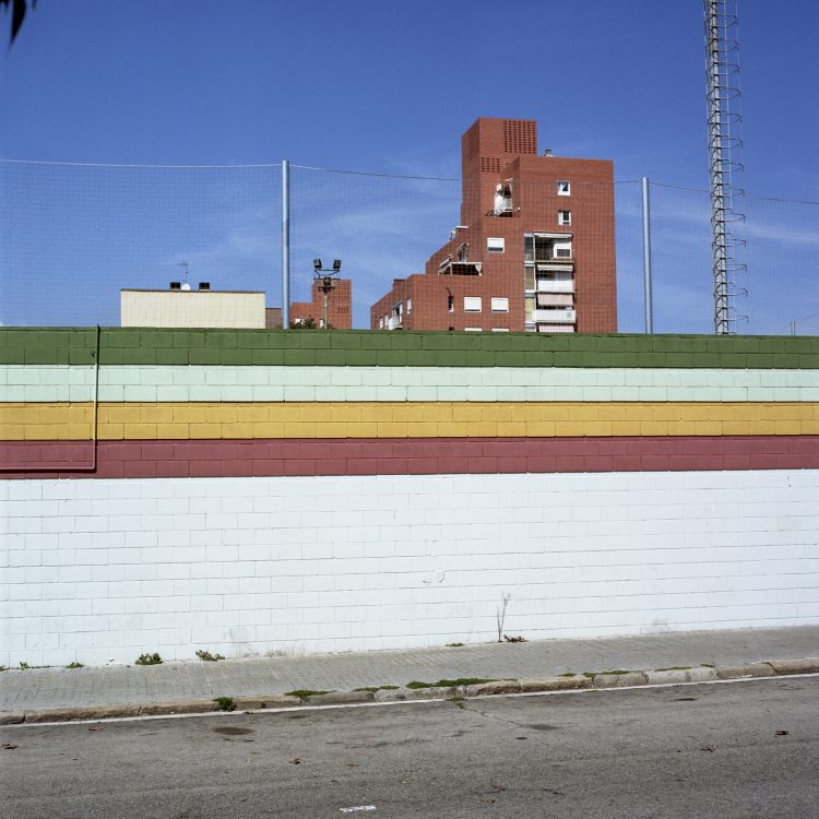
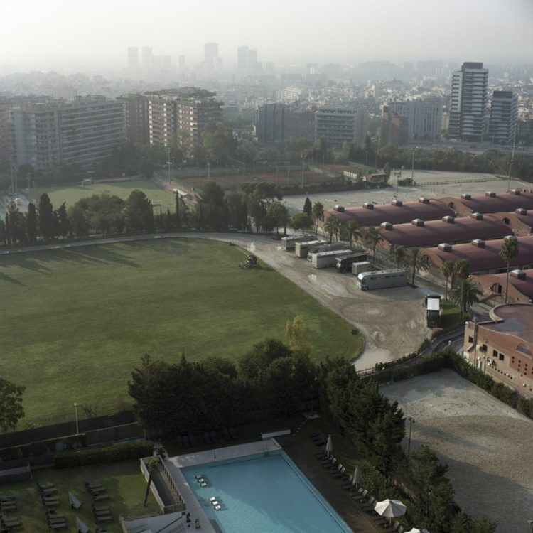
Barcelone est reconnue comme étant la seconde ville d’Espagne après Madrid. Surnommée la Mecque de l’urbanisme, Barcelone, laboratoire urbain, propose des aménagements singuliers. A ce titre, l’ensemble des acteurs s’accorde à reconnaitre le rôle indéniable des jeux Olympiques de 1992 qui a permis de propulser la ville sur la scène internationale. Cet évènement a marqué le point de départ d’une modification substantielle de la ville, en vue de lui donner une dimension internationale. De même, le plan Cerda a marqué de son empreinte le tracé urbain de la ville et a apporté une certaine géométrie (quadrillage, diagonale, parallèle…) à son aménagement. Dans le cadre de cette résidence réalisée à Barcelone, je propose une démarche photographique à la fois documentaire et plastique orientée sur l’organisation de la ville à travers son urbanisation, son aménagement et ses infrastructures. L’idée principale de ce travail est de suivre un parcours délimité par les frontières administratives des 10 districts de la ville. Les photographies identifient les limites de la ville administrative. L’objectif de cette approche photographique est de réfléchir sur la place de l’espace public dans la ville, véritable trame de l’aménagement urbain de Barcelone, et sur les limites entre la ville et la nature. Barcelone reste inscrite géographiquement entre la mer méditerranée et ses montagnes: est-ce une contrainte pour son développement urbain?
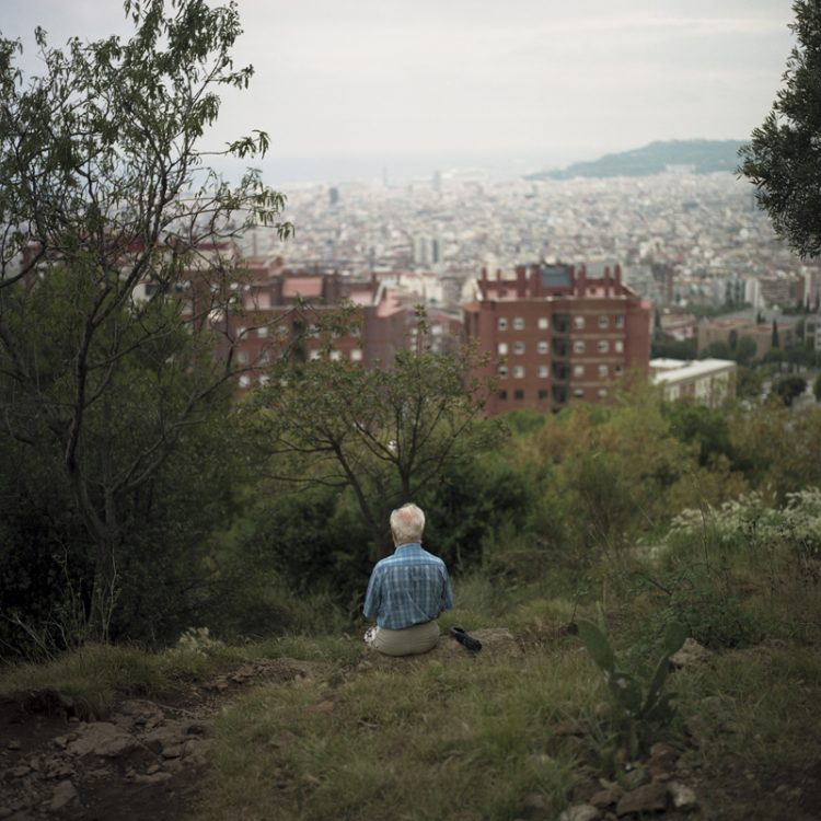
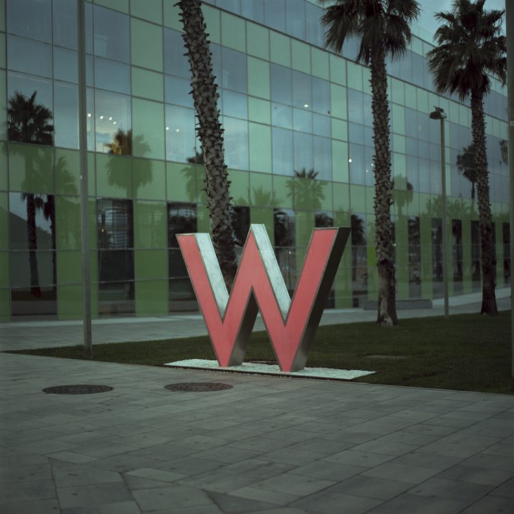
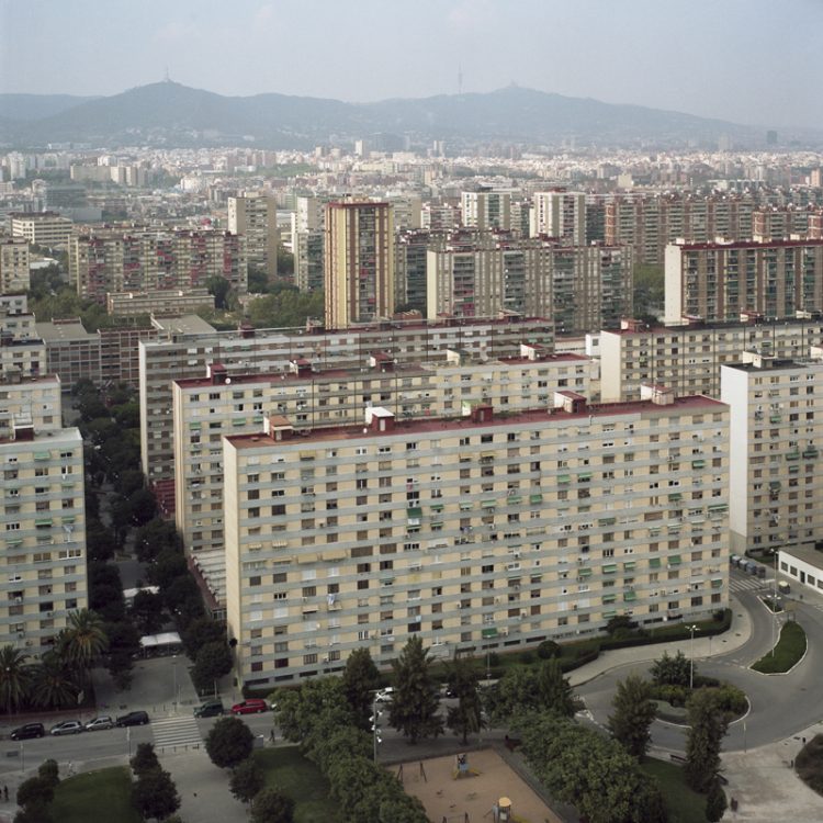
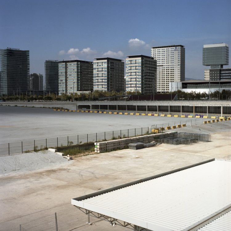
Barcelona is recognised as Spain’s second city after Madrid. Nicknamed the Mecca of urban planning, Barcelona—an urban laboratory—boasts unique developments. In this regard, all stakeholders agree on the undeniable role played by the 1992 Olympic Games, which propelled the city onto the international stage. This event marked the starting point for a substantial transformation of the city, with a view to giving it an international dimension. Similarly, the Cerda Plan left its mark on the city’s urban layout and introduced a certain geometry (grid, diagonal, parallel, etc.) to its development. As part of this residency in Barcelona, I propose a photographic approach that is both documentary and artistic, focusing on the organisation of the city through its urbanisation, planning and infrastructure. The main idea behind this work is to follow a route defined by the administrative boundaries of the city’s 10 districts. The photographs identify the boundaries of the administrative city. The aim of this photographic approach is to reflect on the role of public space within the city—the very fabric of Barcelona’s urban planning—and on the boundaries between the city and nature. Barcelona is geographically situated between the Mediterranean Sea and its mountains: is this a constraint on its urban development?